Geopacks
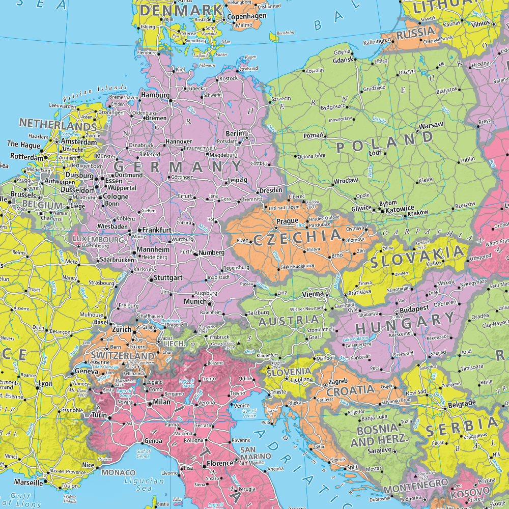
Giant Political Map of Europe
Giant Political Map of Europe
SKU:M-GEURPOL_P
Regular price
£ 36.99 GBP
Regular price
Sale price
£ 36.99 GBP
Unit price
per
Tax included.
Shipping calculated at checkout.
Unfold Europe's Wonders: Vivid Maps to Inspire Planning and Spark Curiosity!
Our politically coloured map of Europe features countries marked in different colours, with international boundaries shown. All major towns and cities of Europe are featured within our huge map, and the countries capital cities are clearly marked. The map contains hill and sea shading adding to the vibrant overall effect.
Size: 174 x 120 cm
Scale: 1:4 819 277 (76 miles: 1 inch)
Couldn't load pickup availability