Butler and Hill
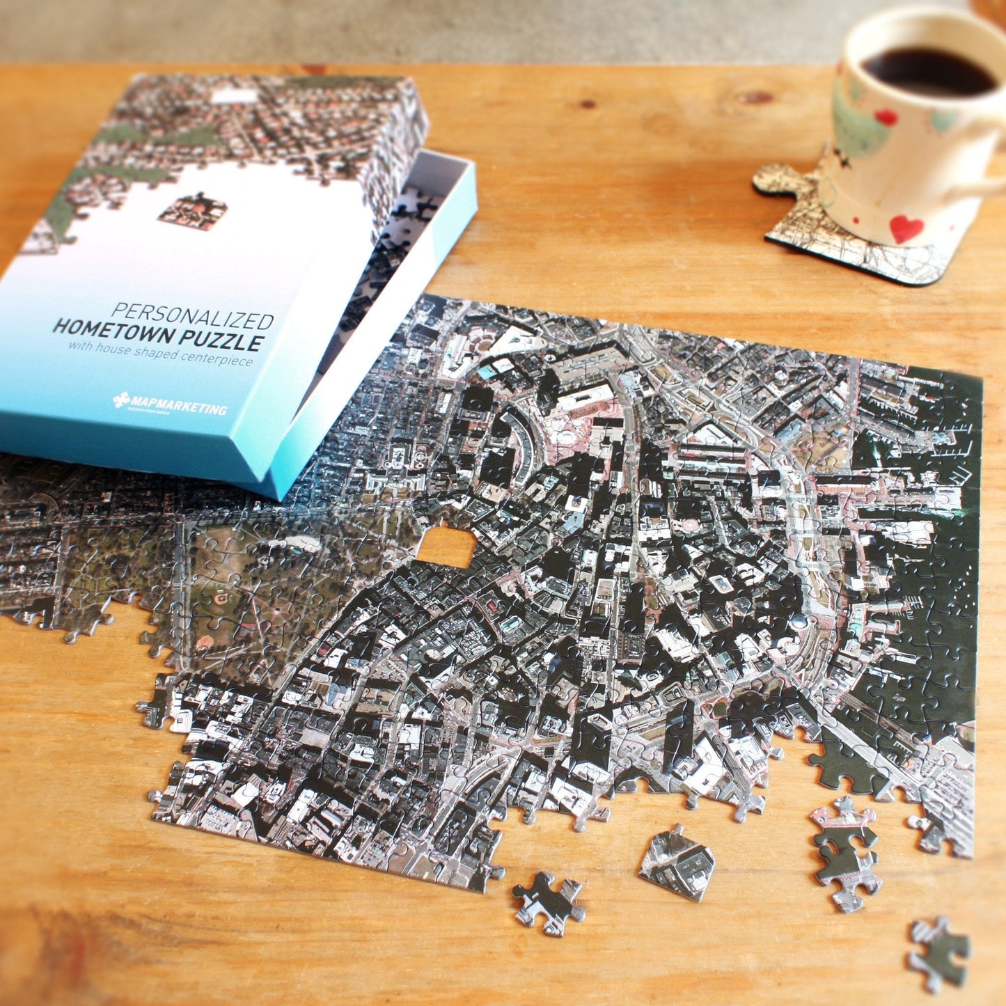
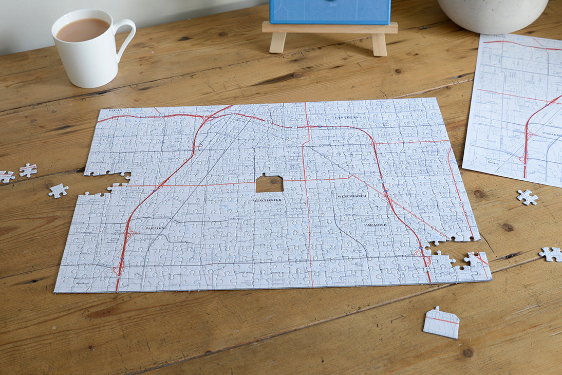
"My Hometown" Personalized Puzzle (USA Satellite or Topographic)
"My Hometown" Personalized Puzzle (USA Satellite or Topographic)
SKU:JAUS
A real-life puzzle with‚ an aerial photograph of your home‚ as the center piece!
Get a‚ bird's eye view‚ of your neighborhood: we will use the latest hi-resolution aerial photography to create a highly detailed real life‚ snap shot of the area centered on an address of choice. Using cutting-edge technology, high resolution aerial images have been digitally re-mastered to create a seamless view of the whole of the USA. The image used for your made-to-order puzzle is extracted from this dataset and centered on the location specified.
USA topographic (1:24,000) – Coverage 7½ miles by 5 miles (approx.) Covers Lower 48 States, Hawaii, Alaska
Derived from U.S. Geological Service Topo map sheets
USA satellite (1:5,000) – Coverage 1 mile by mile (approx.) Covers Lower 48 States.
Map services and data available from U.S. Geological Survey, National Geospatial Program.
Simply provide us with the full address, and zip code and our cutting edge technology will do the rest. As a fun detail, the center piece is shaped like a house - the perfect place to start piecing your puzzle together. Presented in a handsome presentation box, the jigsaw is an unusual, thoughtful gift that people will treasure.‚
Each jigsaw is individually made to order using high quality 1.9mm millboard, hand finished by expert craftsmen.
Includes a free guide print of your map
Couldn't load pickup availability