Geopacks
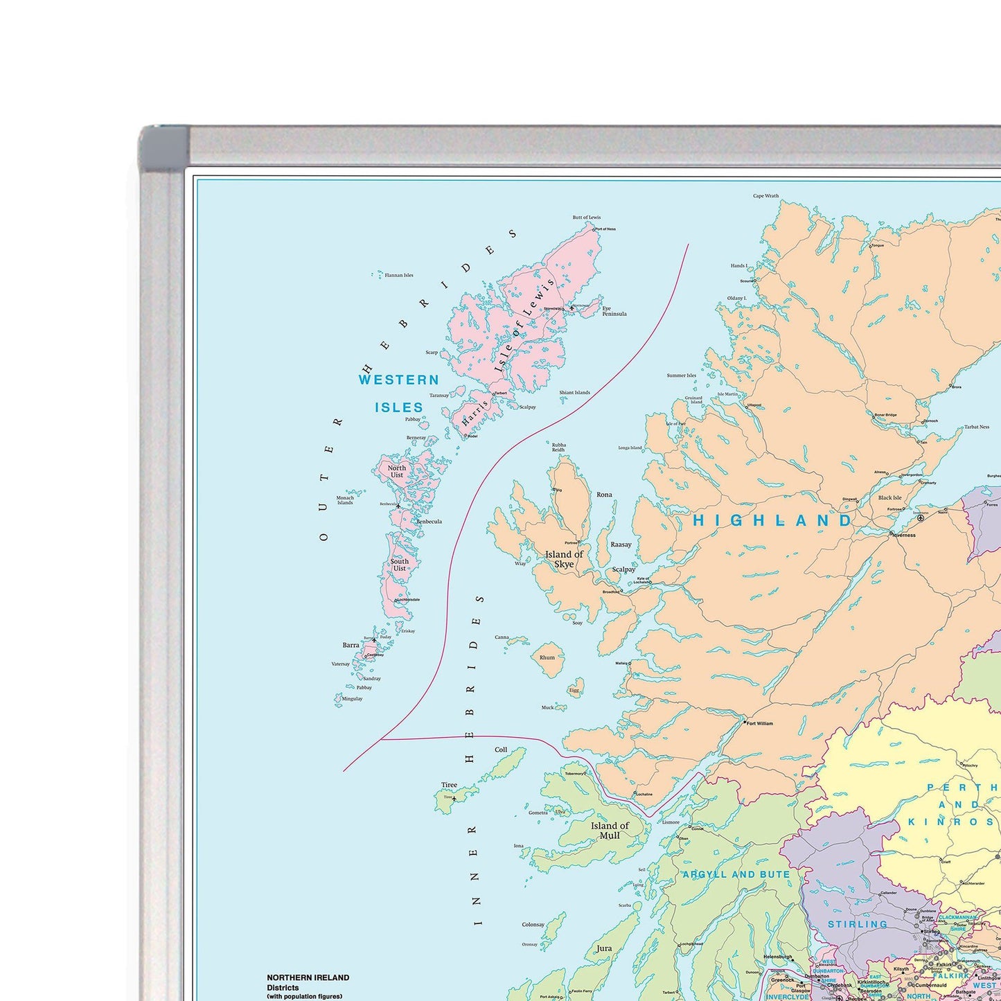
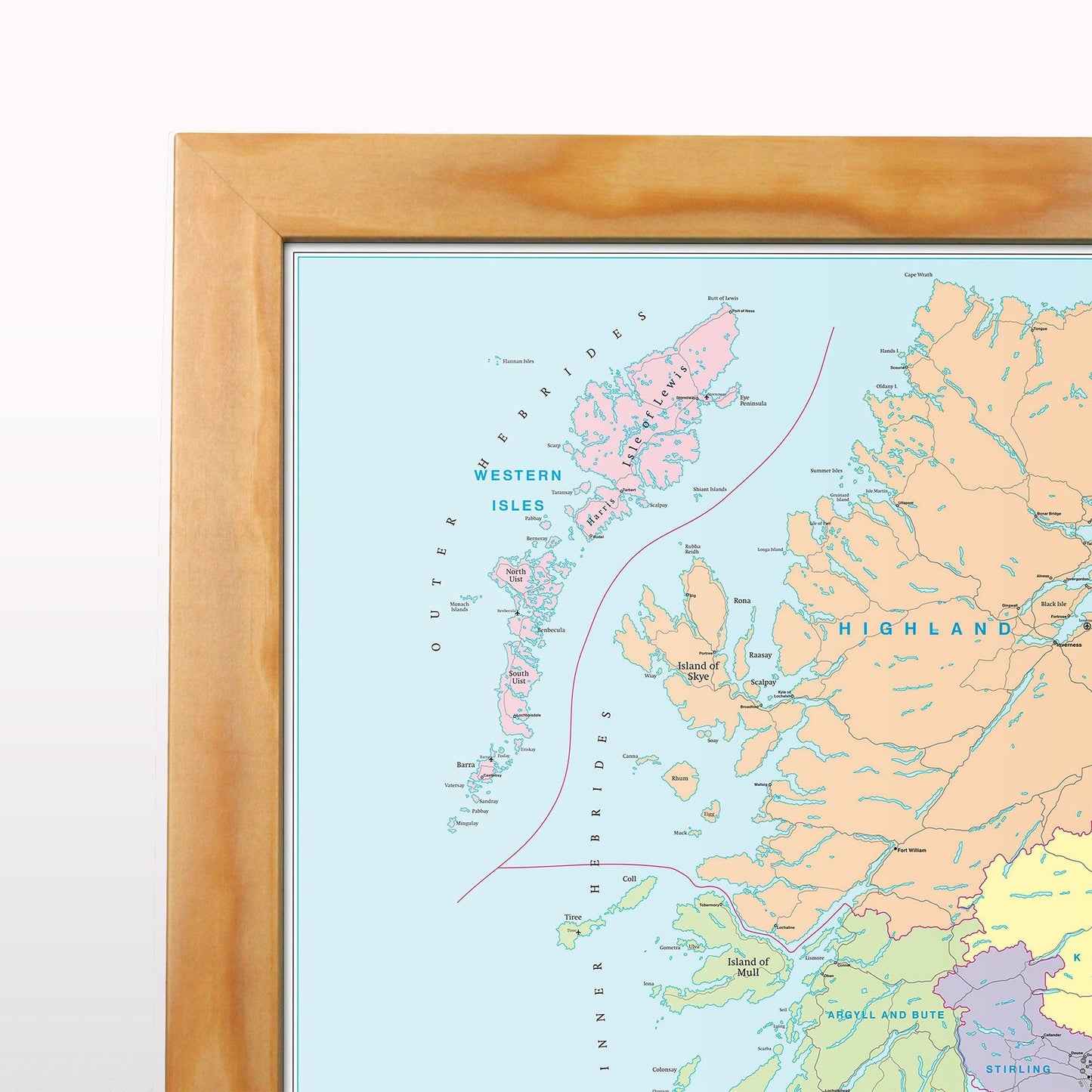
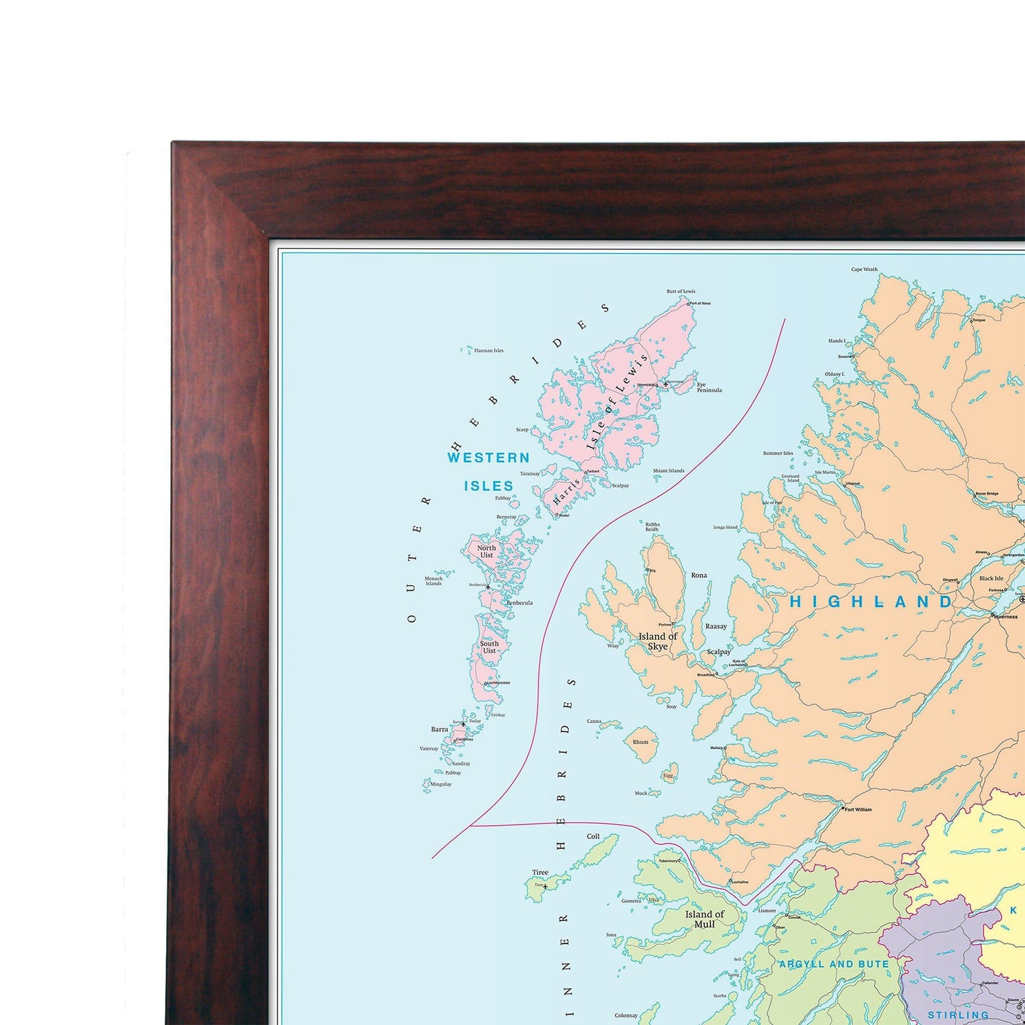
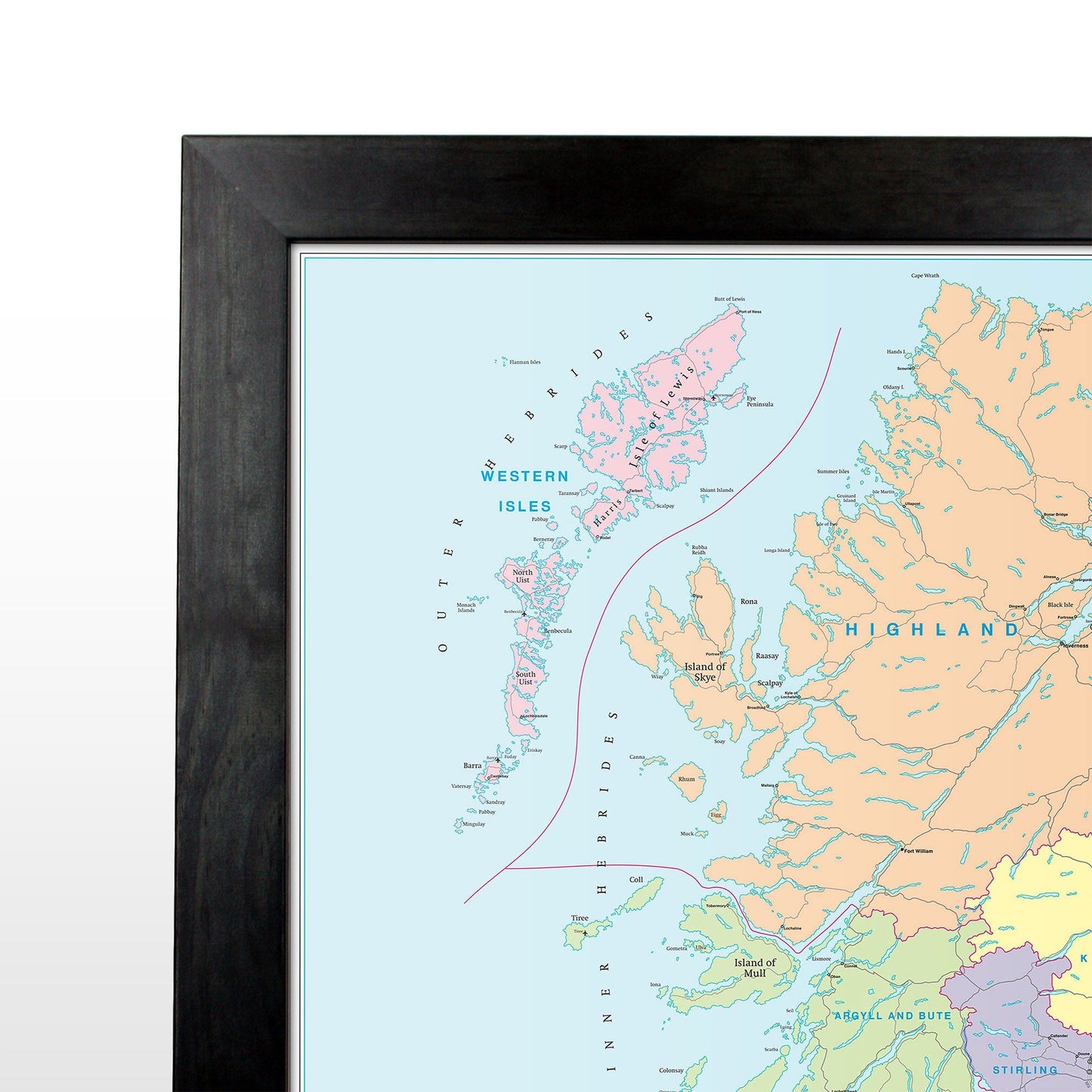
Scotland Road Map - Laminated Wall Map of Scotland
Scotland Road Map - Laminated Wall Map of Scotland
SKU:SCOT
A large wall map of Scotland that can be laminated or framed.
This Scotland road map is ideal for planning travel either for business or pleasure. Motorways, primary routes and roads are displayed on a green map base with full relief colouring (to give you an idea of hilly or mountainous areas).
Scottish Unitary Authority and Council boundaries are shown along with major ferry routes, national parks, main airports and spot heights. Cities and towns are marked with six differing bands of town/city based on population ranging from 2,000 to 1,000,000 plus inhabitants. This Scotland map also includes an inset outlining Scottish Postcode Areas along with a useful mileage chart which indicates distances between 22 British towns and cities.
Size: 91 x 114 cm (36 x 45 inches).
Scale: 1:500 000 (9 miles to 1 inch)
This map is permanently bonded between two sheets of tough, flexible, crystal-clear plastic. This finish allows you to ‚write on, wipe off‚ with dry or wet wipe pens. This map is also available laminated and framed in either superb satin-finish aluminium (metal backing optional) or light, black or dark wood supplied ready to display.
Couldn't load pickup availability


