Geopacks
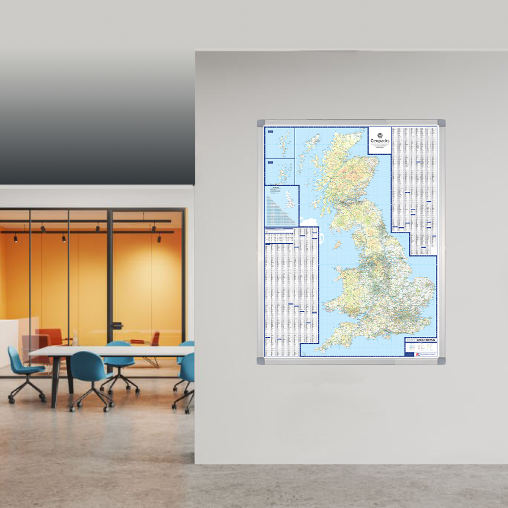
Supersize A to Z British Isles Motoring Wall Map
Supersize A to Z British Isles Motoring Wall Map
SKU:GBIM
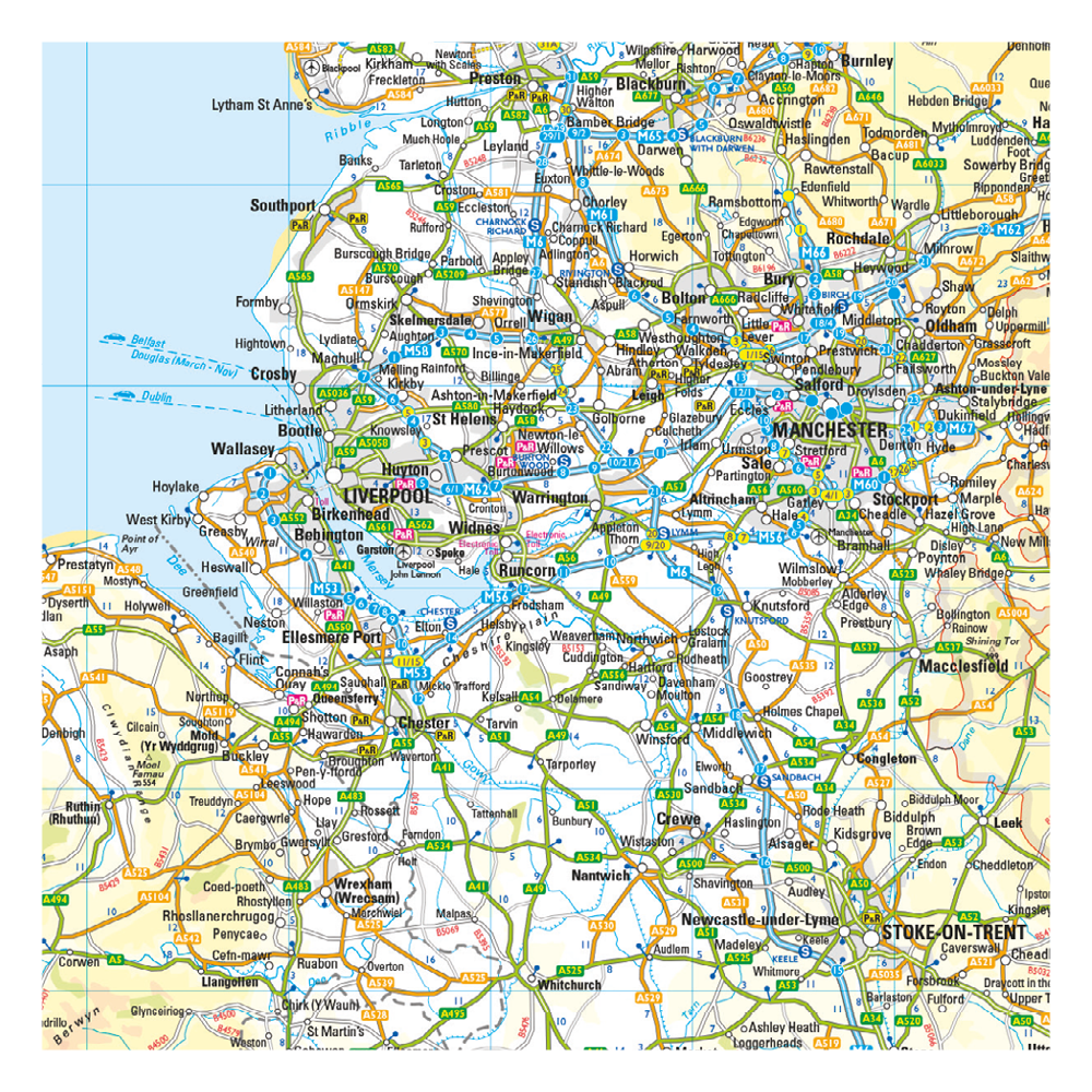
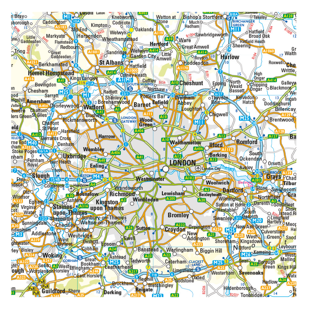
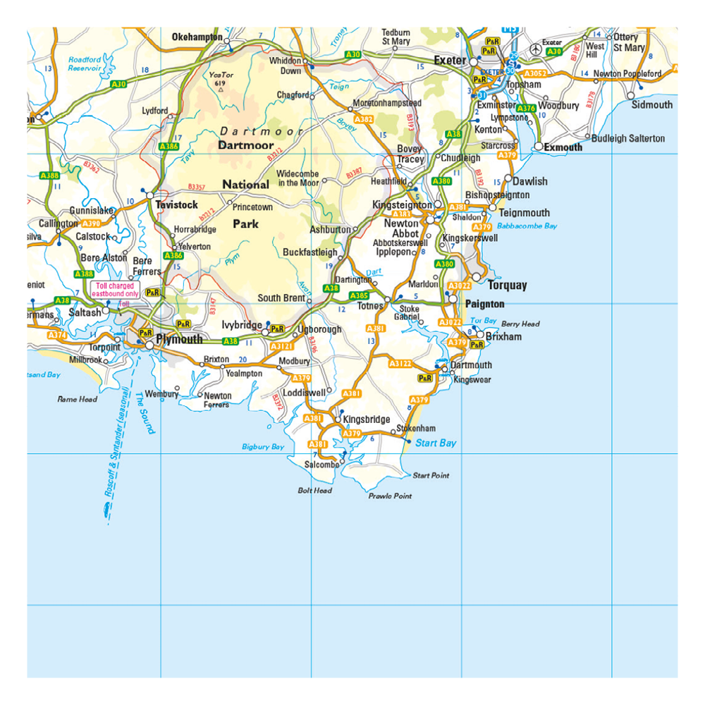
Supersize A to Z road map featuring motorways, primary routes, 'A' Roads and a selection of other routes in full-colour.
The ultimate new road wall map of the UK - Mapping you can trust from A-Z.
With its clear road network this map is ideal for transport planning, logistics and route finding - the ultimate map for business and pleasure.
Main features:
- Clear mapping at a scale of 10.52 miles to 1 inch / 6.7 km to 1 cm
- Scale 1:1666,666
- All major routes along with locations of main service stations
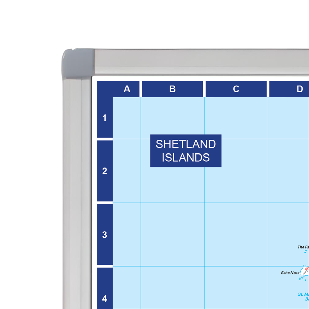
- A helpful index, including: a list of cities, towns, villages, hamlets and locations printed in panels around the mapping
- Ferry routes and a mileage chart
This map combines the simplicity of a route planning map with a great level of detail. It’s perfect for planning and travelling long distances around England, Scotland and Wales..
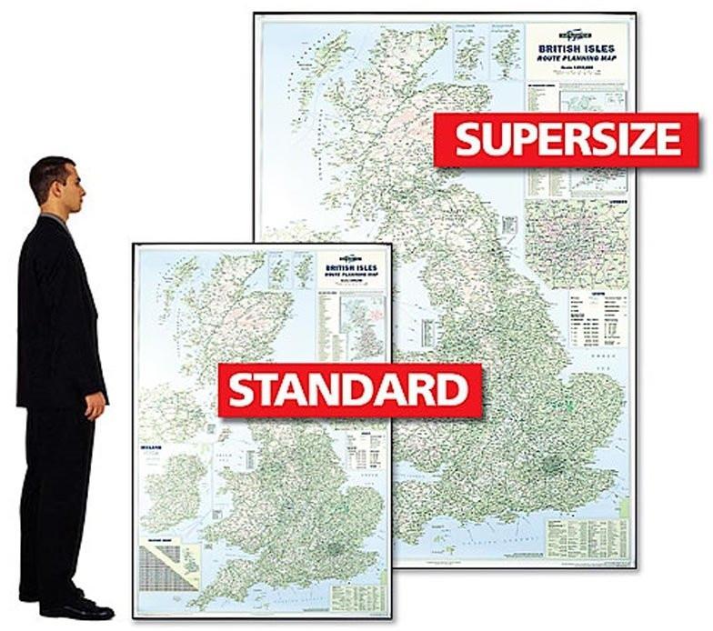
Size: 120 x 174 cm (47 x 68 inches). Scale: 1:666,666 (10.5 miles to 1 inch)
This map is permanently bonded between two sheets of tough, flexible, crystal-clear plastic. This finish allows you to write on, wipe off with dry or wet wipe pens. This map is also available laminated and framed in a superb satin-finish aluminium frame supplied ready to display.
Mapping updated 2024.
Couldn't load pickup availability